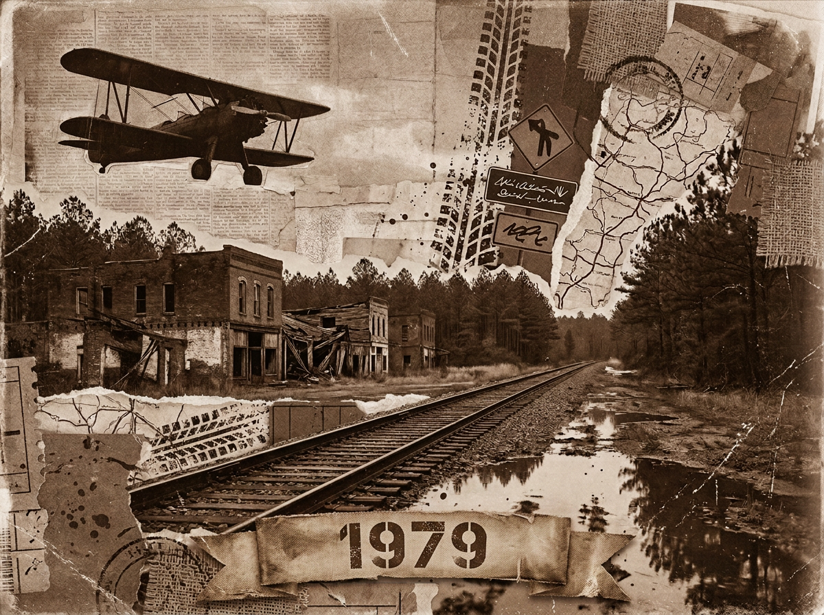
April 10: ‘Took a morning ferry from Ocracoke to Hatteras. A day trip with friends, starting in Hatteras north to Kitty Hawk and back on the beautiful Outer Banks of North Carolina. It was approximately 70 miles one way and, like Ocracoke Island, very hard to get lost. Hwy 12 ran the whole way.

Map of the Outer Banks showing the route from Ocracoke to Hatteras, including points of interest such as Kitty Hawk, Nags Head, and more.

The ferry to Hatteras

The journey to Hatteras from Ocracoke is via a 70 minute free ferry. It is the only free ride to and from Ocracoke, making it very popular. The ferry runs several times a day, from early morning to late evening.

View from the ferry to Hatteras, showing the ocean and a clear blue sky with clouds in the distance.
Away we go
View of a ferry traveling through the water, seen from another ferry. The image captures the blue sky and ocean waves, with vehicles parked on the ferry's deck.
Company
Close-up of a warning sign indicating a restricted area with a notice about unauthorized access being a breach of security.
Looking down at the deck of the ferry. The small sign warns you not to go through the equally small hatch.

First stop: a Museum

Our first stop was the Graveyard of the Atlantic museum next to the ferry station. No pictures from inside the museum, but the beach pictures in my earlier post were taken here. Great museum.

Logo of the Graveyard of the Atlantic Museum featuring stylized nautical symbols and text.

Second stop: Hatteras Light Station

On up the road to Buxton, home of the famous Hatteras Light Station.

Our revisit to the Hatteras Light was a shock.

The graceful black and white striped lighthouse we were used to seeing was covered by scaffolding from top to bottom. The area and buildings surrounding the lighthouse were closed to visitors. A major restoration project, scheduled to end in 2026 if things stay on schedule, is underway. The only buildings open were the small gift shop and restrooms.

Click here to view what we were used to seeing, from 2022.

Sign for Cape Hatteras Light Station in front of a trailer office and fenced area.
Construction site featuring a lighthouse wrapped in scaffolding, surrounded by construction equipment and signage, under a partly cloudy sky.
The Hatteras Light Station covered in scaffolding during a major restoration project, with a clear blue sky in the background.

Third stop: Lunch!

It was off-season so the nice seafood place we wanted to eat at was closed. Fortunately, the Five Guys in Nags Head provided a good meal.

Fourth Stop: The Wright Brothers Memorial

Two brothers, who operated a bike shop in Ohio, picked Kill Devil Hills on the Outer Banks to make history. It is where the first successful powered, sustained and controlled flight of a heavier-than-air aircraft took place. Inventors Wilbur and Orville Wright achieved this on December 17, 1903. That’s a long-winded way of saying that in 1903 they started what led to the planes we fly in today.

A bronze relief sculpture featuring the busts of Wilbur and Orville Wright, with the text 'They taught us to fly' and illustrations of vintage aircraft above them, dated 1901, 1902, and 1911.
A grassy field with a monument in the background, featuring a kite flying above. People are visible on the hill near the monument.
The memorial, with a kite flier showing a different kind of flight. The brothers came here for about four years, testing non-powered gliders, launched from the hill.
A person standing on a paved path in a grassy area with large stones and trees in the background under a cloudy sky.
The initial powered flight was the first of four made that day. It was their second attempt. The first try had failed three days earlier. The first flight was for 12 seconds for a total of 120 ft. The final flight of the day was 852 feet. The aircraft never flew again, after a wind gust damaged it following the last landing.

The aircraft, “Kitty Hawk Flyer 1,” was launched on flat ground off a rail, into approximately 20 mph winds (important factoids for Aeroplane Geeks).

The big stone in the foreground is the launch site. You can see a copy of the rail the aircraft launched from. Each of the four smaller stones show the landing spot of one of the flights.

Orville and Wilbur alternated flying, with Orville piloting the first flight.
Bronze plaque commemorating the first flight, featuring a vintage airplane design and two figures representing the Wright brothers, set on sandy ground.
NOAA National Geodetic Survey marker honoring the 100th anniversary of the first flight.
An American flag waving atop a tall pole, set against a cloudy sky, with a hill and a monument visible in the background.

Fifth Stop: finally a fully visible lighthouse.

On the way back to the Ferryboat Station, a stop in Nags Head.

Two women posing beside the welcome sign for Bodie Island Light Station at Cape Hatteras National Seashore, featuring a depiction of the iconic black and white striped lighthouse.
It was a chilly day.
A couple poses in front of the iconic black and white striped Hatteras Lighthouse, with a clear blue sky and grass in the foreground.
People added to show scale!
A tall black and white striped lighthouse stands against a blue sky with scattered clouds.
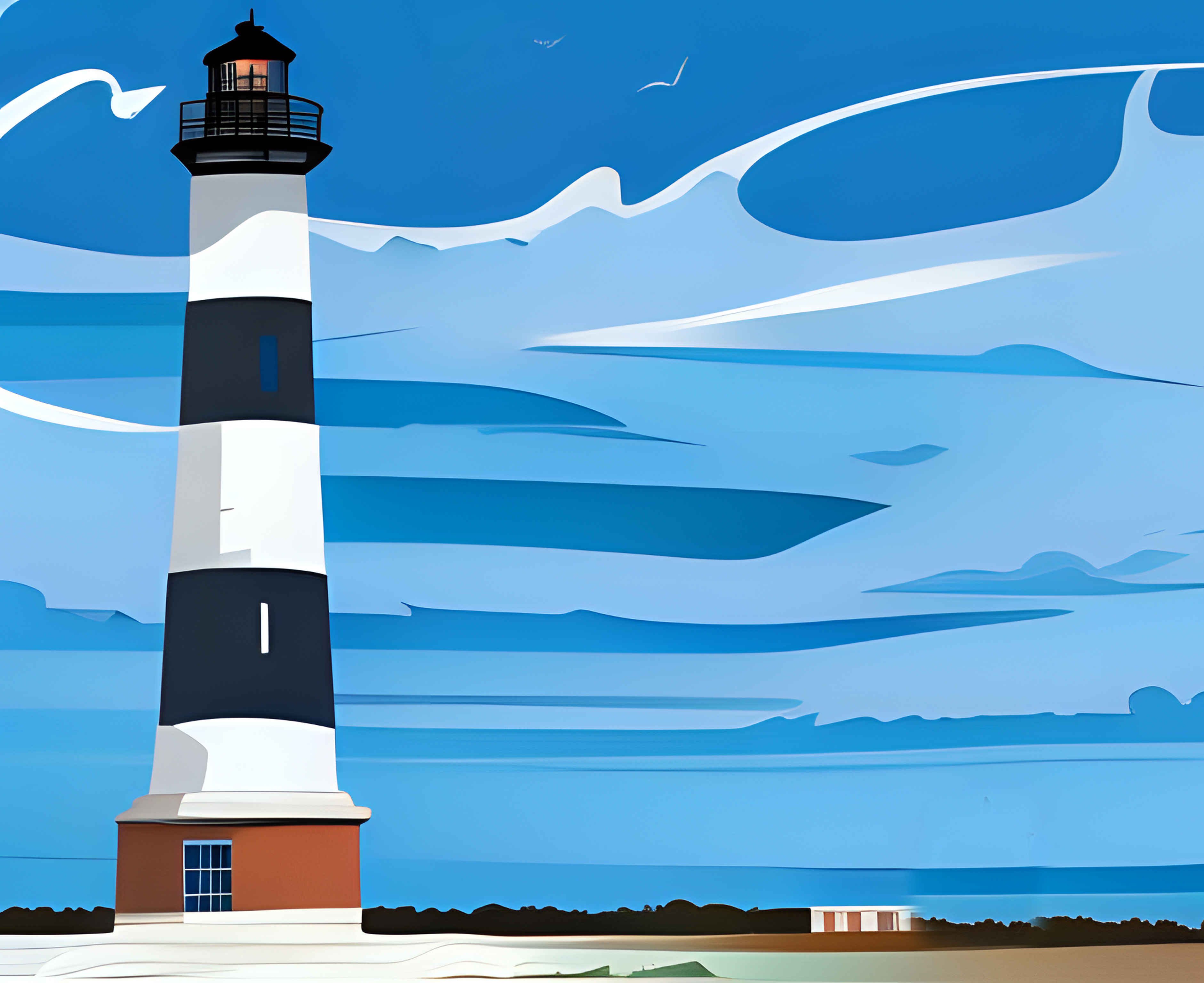
This image is the source for the AI-generated picture introducing the post.
Wide shot of a clear blue sky with white clouds and green grass in the foreground, featuring a lush tree line in the background.

On the road and water

Dashcam captures showing off the island…

A scenic roadside view at the Outer Banks in North Carolina, featuring a stop sign and a pathway leading into the natural landscape with sandy dunes and a blue sky.
Leaving Bodie Light Station back on to The Road, Hwy. 12.
A scenic view of a road leading towards the horizon, with clouds overhead and power lines along the roadside, showcasing the landscape of the Outer Banks in North Carolina.
A good percentage of the island is very narrow.
A view of the approach to the ferry terminal at Hatteras, North Carolina, featuring a wooden building resembling a lighthouse and a sign indicating ferry services.
Entering a village.

And on the water, headed back to Ocracoke.

View from a ferry heading to Hatteras, with two people standing at the railing and the shoreline visible in the background under cloudy skies.
Final view of Hatteras
A person in a turquoise hoodie stands beside an orange life ring on a ferry, looking out over the water towards the horizon with a cloudy sky.
Close-up of a yellow emergency hatch cover on a ferry deck, showing a warning label for restricted access and instructions not to block the hatch.
Looking down again, at a very small Emergency Escape hatch in a “Restricted Area” (part of the ferry’s deck).
A scenic view of a cloudy sky over the ocean, with a bird flying in the foreground.
Escort.

This is the last post of our April trip to the Outer Banks. Click here to see all seven posts, as well as posts going back to 1983.


Click here to see full size, no watermark, images at www.ImagesByBill.us

Thanks for visiting.

May 4, 2025

One response to “Outer Banks Day Trip- Lighthouses, First Flights, and more in North Carolina”

  1. I love cape Hatteras and Ocracoke Island… Beautiful photos big

Leave a Reply

Trending

Discover more from Bill's Journey

Subscribe now to keep reading and get access to the full archive.

Continue reading