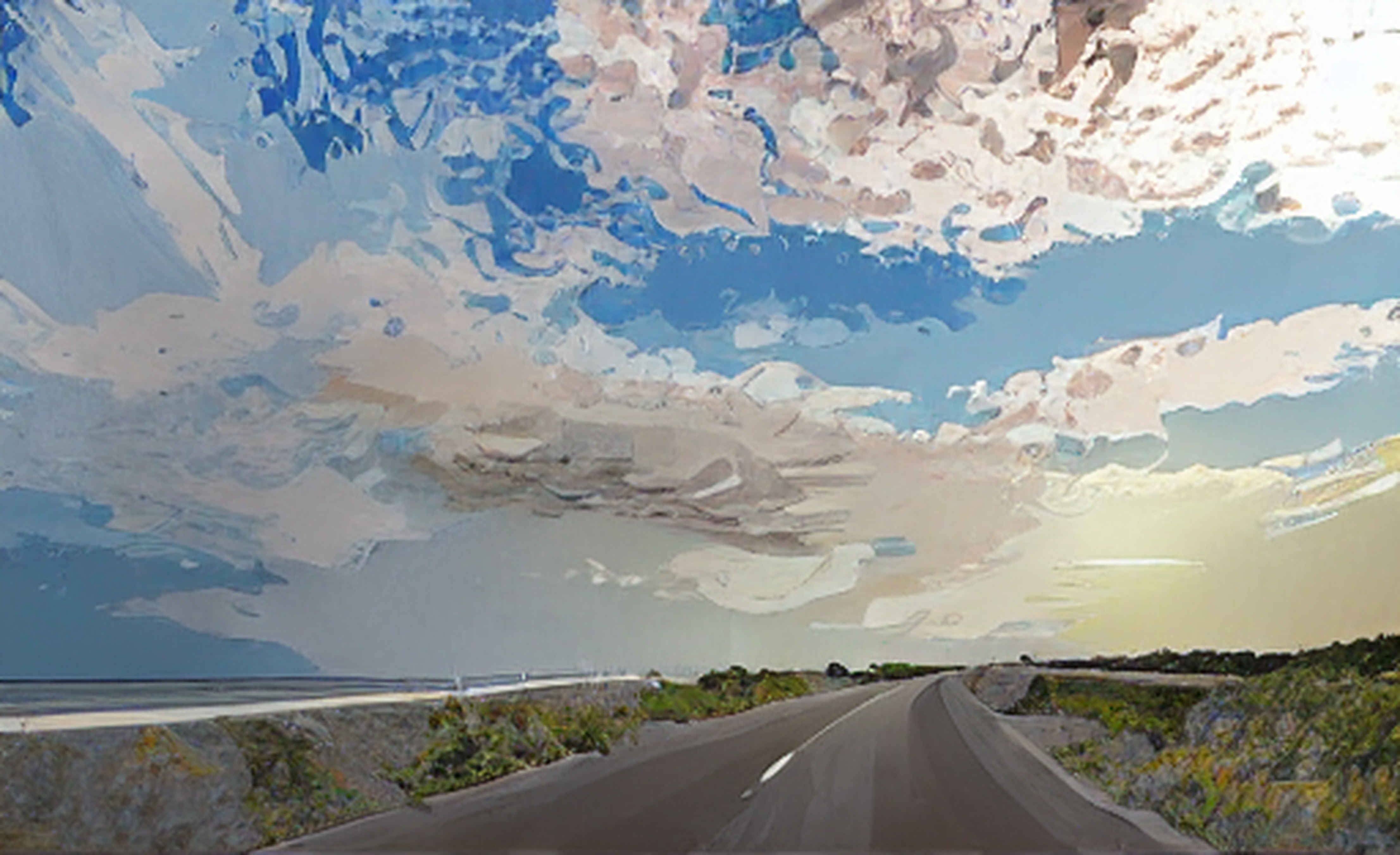
This is one of six posts documenting our week on Ocracoke Island (March 31–June 6), each highlighting a different part of our journey.
Click/ tap here for a linked list of all 6.
Sidenote #1: How to spell the island’s name

It was a bright late afternoon as we drove the 16 miles along the length of the island. Gusts of wind reached up to 35 mph, making the journey more exhilarating.
As you head south, the island gradually widens, culminating at its broadest point where the Village sits.
At the northern end, the island is barely wider than Highway 12’s two lanes, emphasizing its narrowness…


Sidenote #2: No humans were harmed in the process of capturing these images. Thank you, dashcam.
June 5, 2026
Thanks for visiting!
Click/tap here to see all my Outer Banks posts, dating back to the early ’80s.
(Comments here or below are welcome)
(Like the post? Click Like below)
I appreciate your support and hope you enjoy my posts!


Leave a Reply